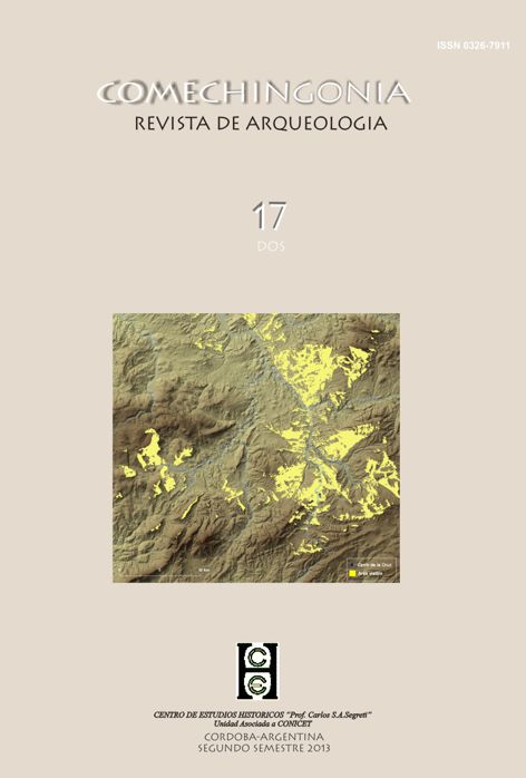
Measuring locational decisions. An assessment of the effective defensiveness of fortified archaeological sites
Main Article Content
Abstract
Downloads
Article Details
Copyleft
Este obra está bajo una licencia de Creative Commons Reconocimiento-CompartirIgual 4.0 Internacional.
Usted es libre para: Compartir — copiar y redistribuir el material en cualquier medio o formato
- Adaptar — remezclar, transformar y crear a partir del material
- Para cualquier propósito, incluso comercialmente
- El licenciante no puede revocar estas libertades en tanto usted siga los términos de la licencia
-
Atribución — Usted debe darle crédito a esta obra de manera adecuada, proporcionando un enlace a la licencia, e indicando si se han realizado cambios. Puede hacerlo en cualquier forma razonable, pero no de forma tal que sugiera que usted o su uso tienen el apoyo del licenciante.
-
CompartirIgual — Si usted mezcla, transforma o crea nuevo material a partir de esta obra, usted podrá distribuir su contribución siempre que utilice la misma licencia que la obra original.
- No hay restricciones adicionales — Usted no puede aplicar términos legales ni medidas tecnológicas que restrinjan legalmente a otros hacer cualquier uso permitido por la licencia.
Copyrigth
Si bien los derechos de autor de los artículos son de los mismos autores; el titular del copyrigth es la Revista Comechingonia.
Esto estará indicado en cada artículo, asi como la licencia Copyleft anteriormente descrita.


