Territorial analyses in archaeology: visual perception and accessibility of the environment
Main Article Content
Abstract
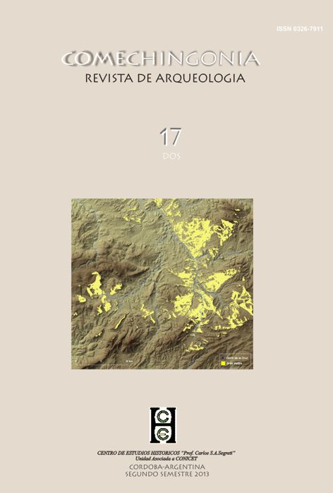
This paper focuses on viewshed studies in Archaeology. The aim is to contribute to the improvement of the methodological approaches to visibility in Antiquity. Although the examples are based on Iberian Iron Age archaeological sites, the methodology can be applied to other contexts and periods too. In particular, viewshed calculation and accessibility map have been overlapped, in order to get an approach less rigid than usual. Viewshed studies in Archaeology are done through Geographic Information Systems (GIS). Although the computerized viewshed has been sometimes considered as the best contribution of GIS to landscape studies, many authors have called attention to several critical points. Some of those ideas are also mentioned here.
Downloads
Download data is not yet available.
Article Details
How to Cite
Territorial analyses in archaeology: visual perception and accessibility of the environment. (2013). Comechingonia. Revista De Arqueología, 17(2), 83-106. https://doi.org/10.37603/2250.7728.v17.n2.18192
Section
Dossier
COPYLEFT
This work is licensed under a Creative Commons Attribution-Share Alike 4.0 International License.
COPYRIGTH
The copyright and copyrights of the articles are held by the authors themselves.
This will be indicated in each article, as well as the Copyleft license described above.
How to Cite
Territorial analyses in archaeology: visual perception and accessibility of the environment. (2013). Comechingonia. Revista De Arqueología, 17(2), 83-106. https://doi.org/10.37603/2250.7728.v17.n2.18192


